Safety
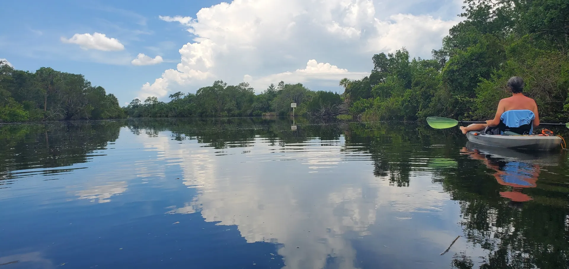
Solo paddling can be amazing. It's calming and great exercise, but it isn't exactly safe. If something happens there is often nobody around to help. Simple things can now become life and death scenarios.
This was the inspiration for Onshore Buddy. We want to provide a way for you to create and share your trip with your friends and family back on land.
You should always have a buddy but if you can't at least you can have an onshore buddy.
Planning
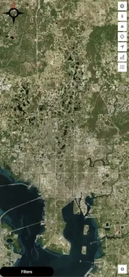
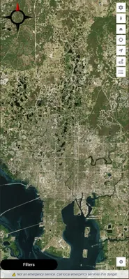
By combining maps, waterways data, and some proprietary algorithms, we allow you to create a complete plan for your adventures on the water. Then we use that plan in combination with the real-time data from your mobile device to update your buddies on your status.
Tracking
You already have a plethora of sensors and radios in your phone that we can put to use to help you track your trips and share that info with your buddies. Our web-based application will run on anything with internet access, a modern web browser, and GPS.
We combine the satellite maps with waterways data to help you create your trips in the same way you would in a car.
Pricing
You can try the app for 15 days for free. No payment info needed until the trial ends.
- After that:
- 5 USD Monthly
- or
- 50 USD Yearly
The Future
Device Integrations
We plan to create integrations with other smart devices to allow for things like an SOS button to call emergency services on your smart watch.
Suggest something on our Discord server.
Community
We also want to build a community. You will be able to share your past trips and secret spots. As a paddler myself I know all about the unmarked waterways that can often be then best.
Data and AI
We hope to one day have enough users that we can start using this data for good. I'm sure the environmental data alone would be massively helpful to managing the health of our waterways. In addition, we can use that data to provide more accurate maps and local perspectives to our users. We plan to anonymize any data we collect. We are looking into a way to use that data to responsibly sell it to feed back into AI models and other tech. This would allow us to keep costs low and improve technology for everyone. We are big fans of FOSS and responsible technology.